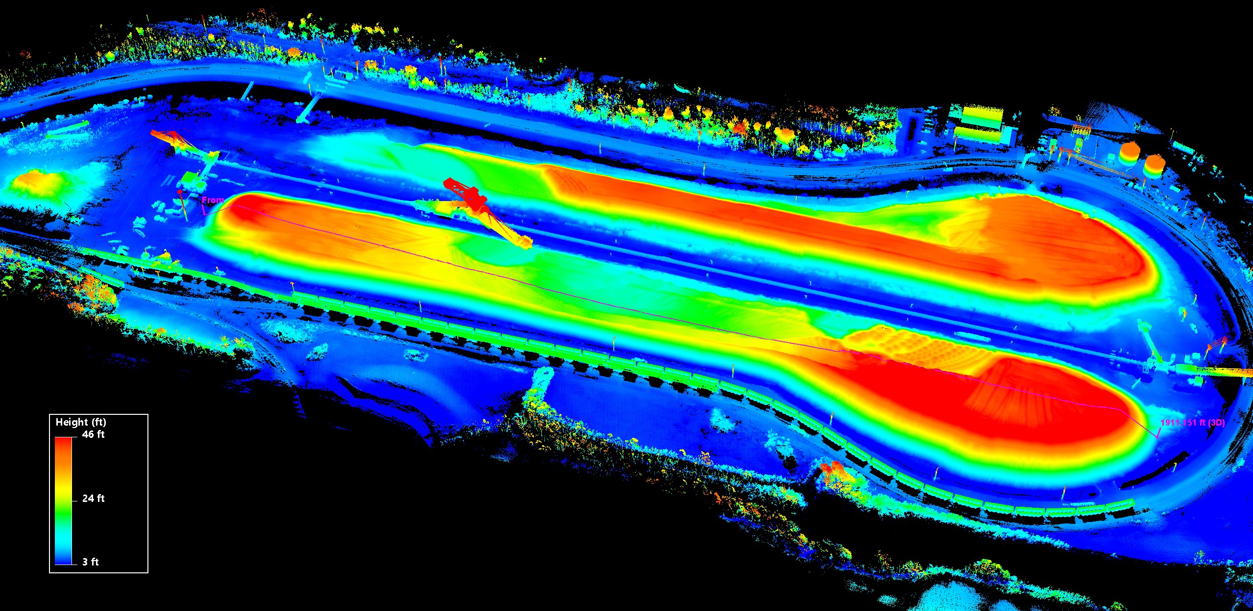
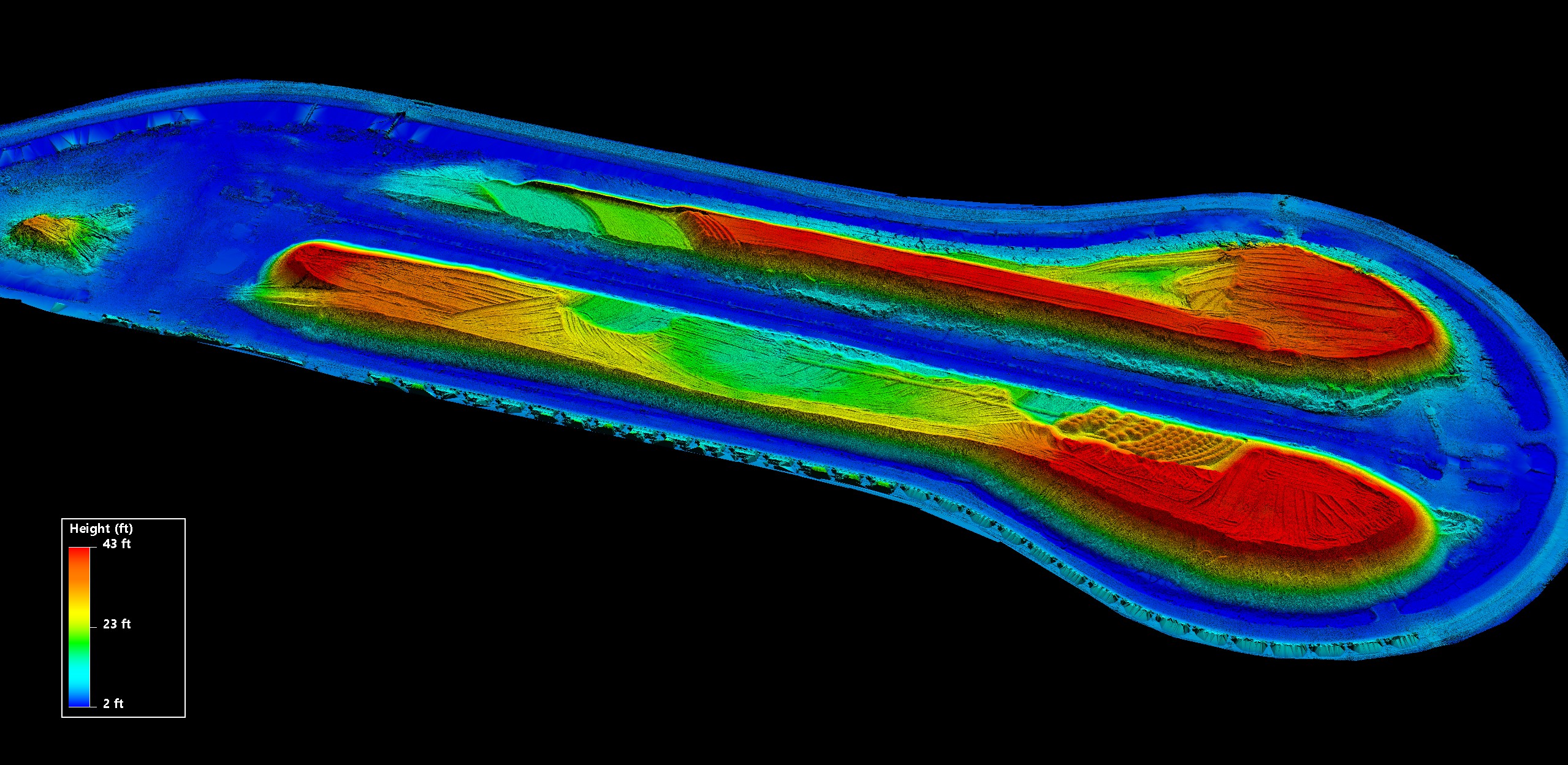
Drone LiDAR metrics at regular intervals can save money in areas where losses were once considered unable to be recouped. Consider the ability to determine equipment wear based on how much material you are moving or better predicting fuel costs for the quarter. We can be utilized for spot-checking compaction rates throughout a day, week, or month.
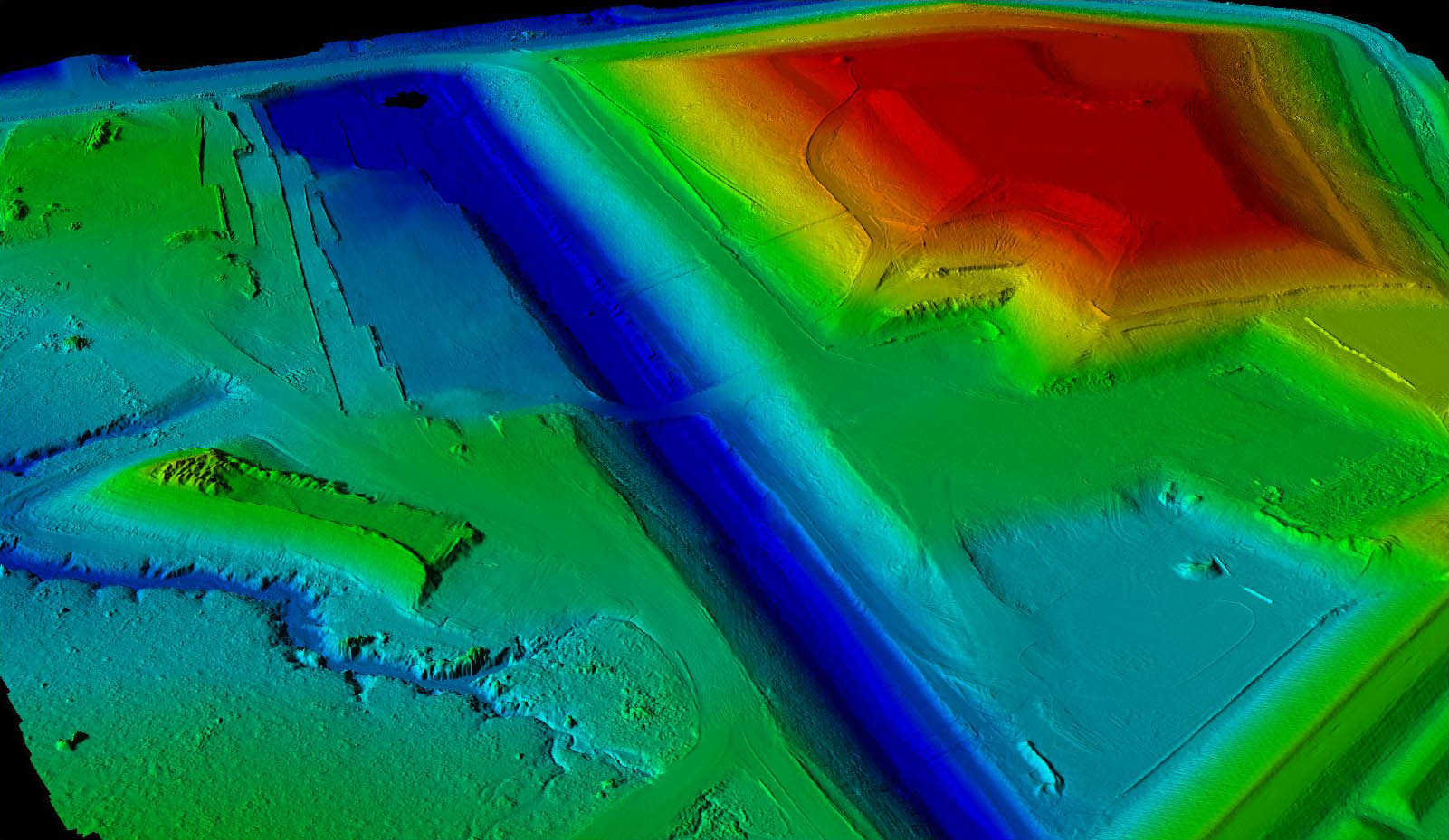
Large plant management operations like mines, waste management and quarries often need a bigger picture that ground crews have trouble providing quickly. With the ability to cover 500 acres in a day, and soon more than that, UAS Global Services can turn the most daunting task into short work. Negate terrain obstacles and coverage issues with our aerial LiDAR services.
Let UAS Global Services remove the on-site clutter from the equation with an accurate bare-earth model. Track runoff routes, retention requirements, and capacity numbers more readily. There are a lot of environmental requirements for maintaining a large mine or waste management facility. Let our experienced drone LiDAR team relieve the burden of collecting that data, so you can focus on your expertise.
Call and talk to us about the types of drone LiDAR metrics we can capture for your next project!