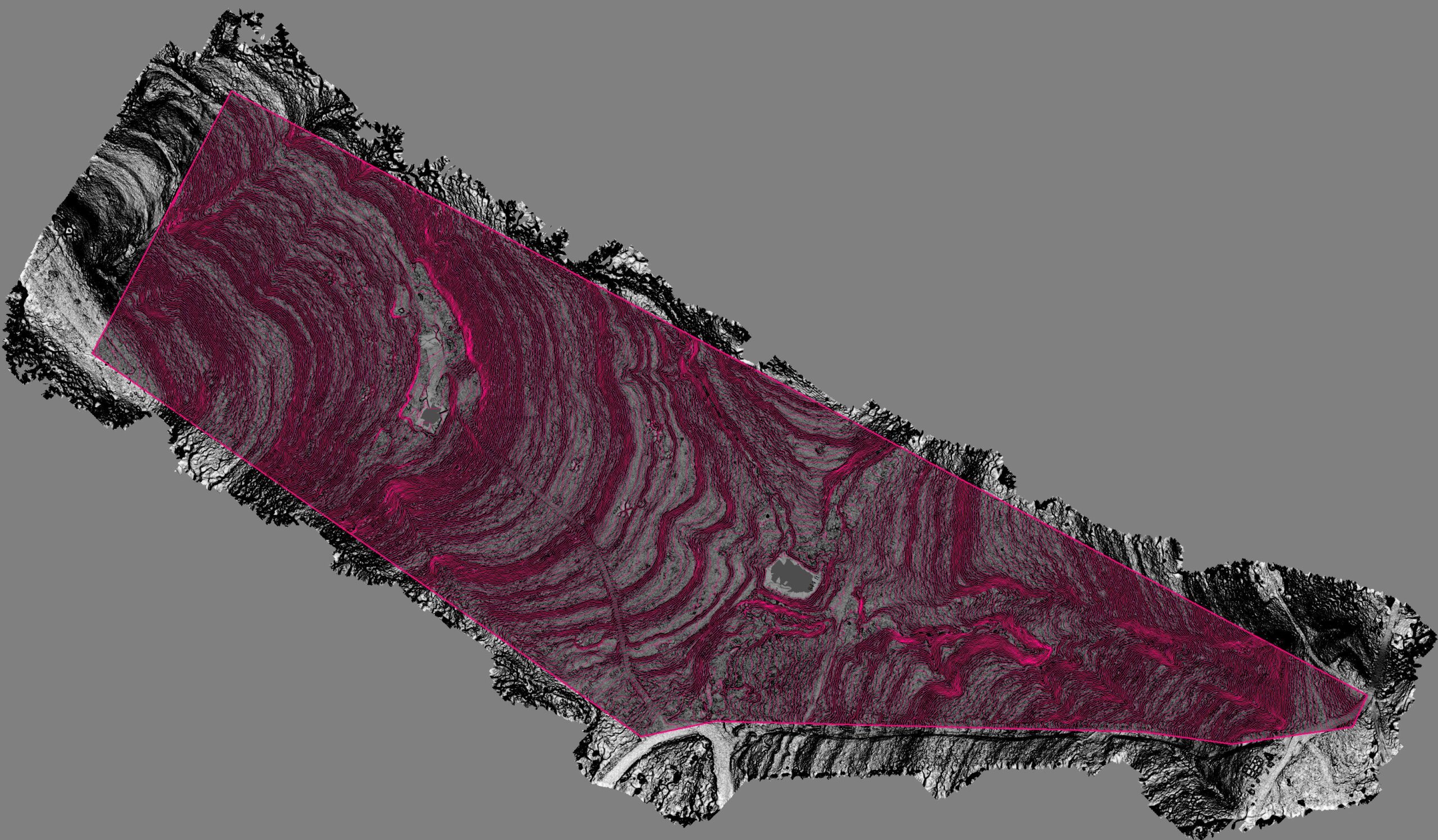
LiDAR penetration through trees, even with elevation changes, is another very practical application for our drone LiDAR services. This patch […]
An unexpected survey drone find recently, as we uncovered the tee boxes of a relic of BCS pastimes long overgrown.
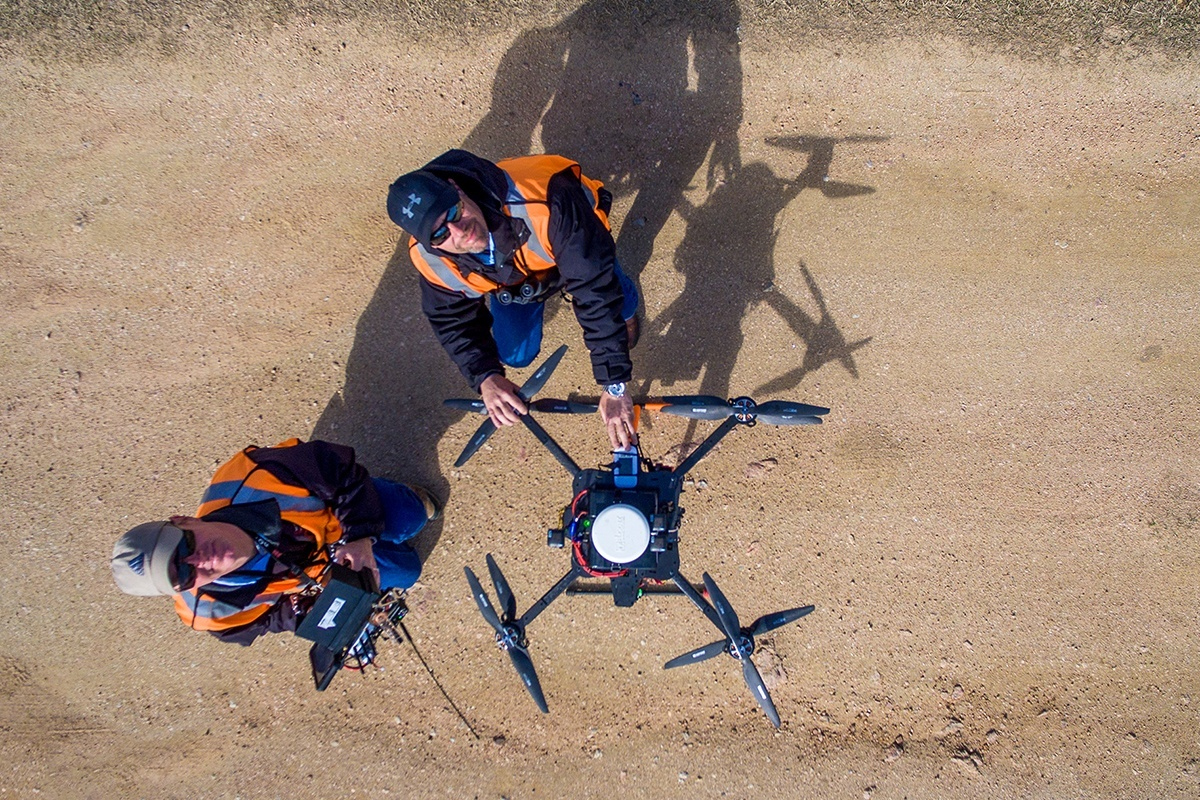
Pilots with Texas Drone Professionals prepare their aircraft and its LiDAR sensors for a flight along Pedernales EC power lines.
Drone LiDAR metrics at more regular intervals can save money in areas where losses were once considered unable to be recouped.
UAS Global Services has built a large amount of experience over the years flying hundreds of miles of transmission line. […]
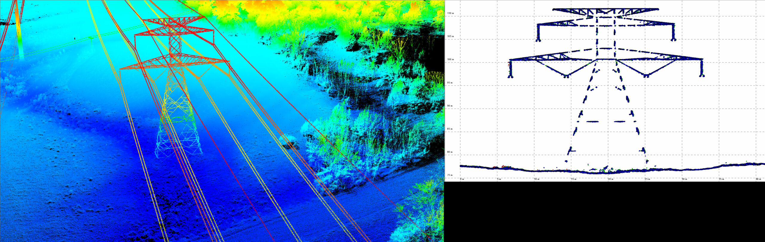
In 2019 Texas Legislature voted to require utilities to complete regular inspections of conductor height (and more) to ensure safety regulations are being met.
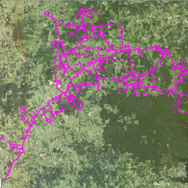
Our largest project to-date has been an ongoing fiber project for a central Texas utility company. We have flown over […]
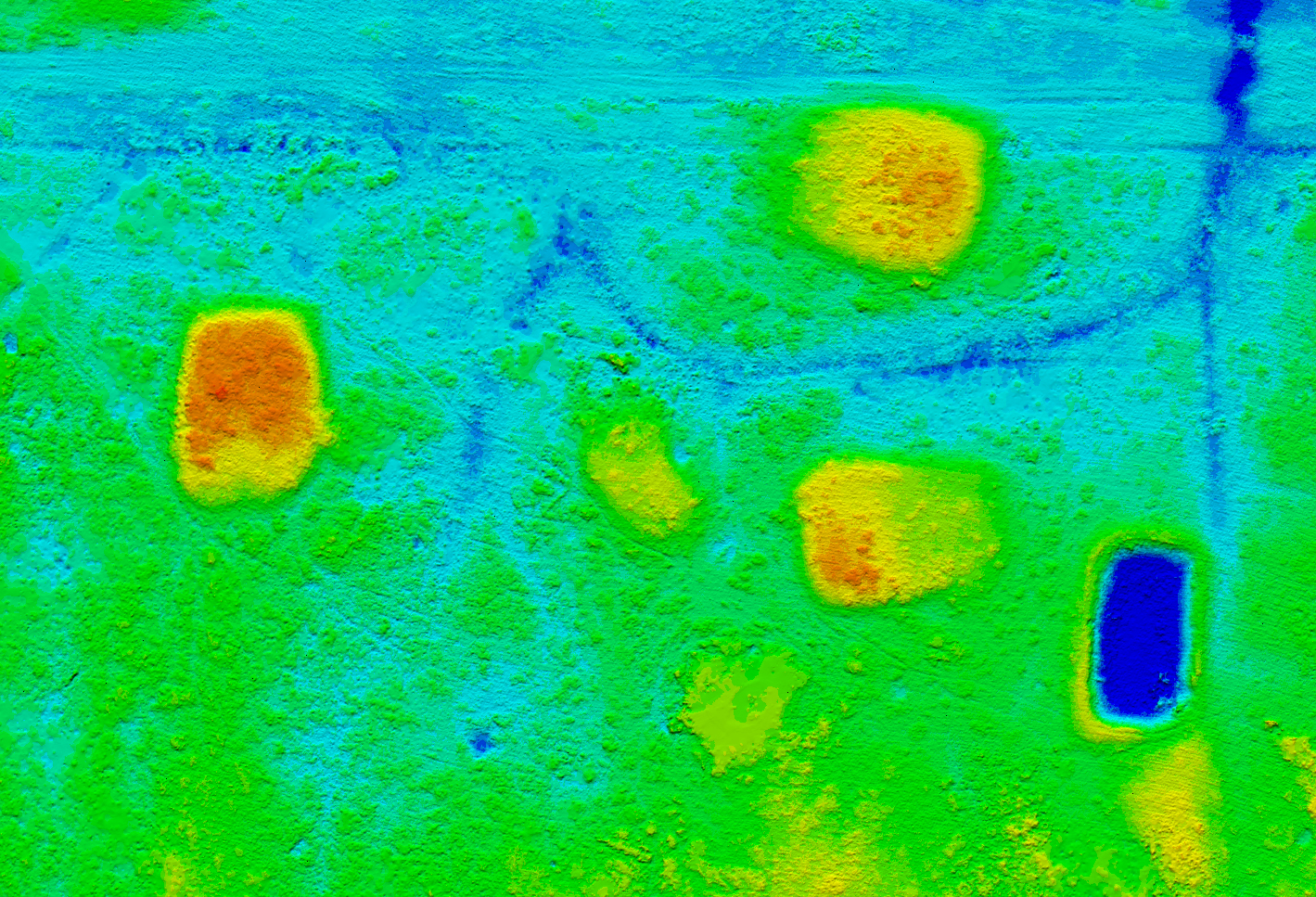
Volumetric LiDAR data is such a valuable, repeatable tool. When combined with accurate core samples, a company can minimize inventory shrink and maximize profit much easier than before. #drone #lidar #volumetrics #survey
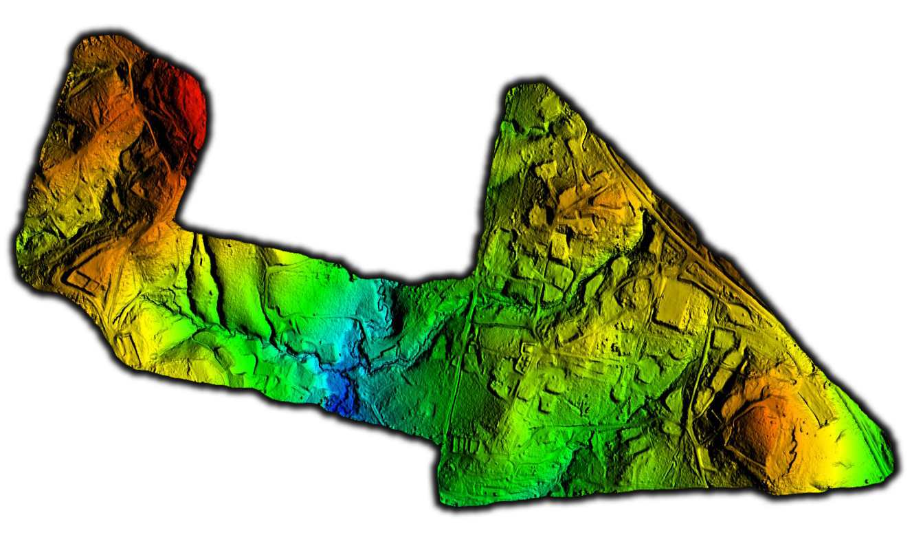
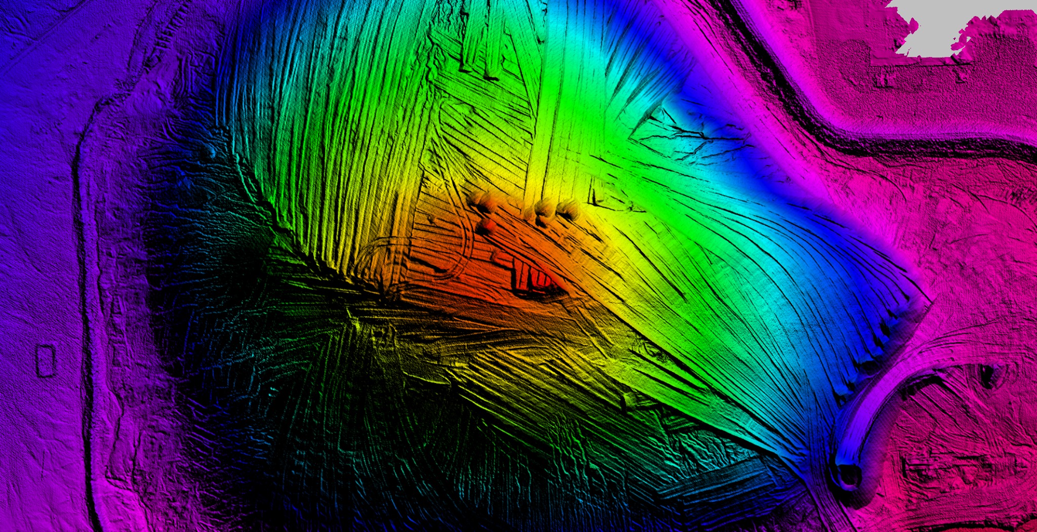
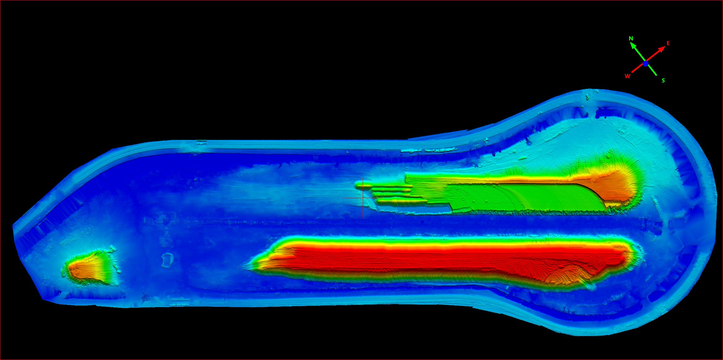
This large oil pad survey was completed to help a client find all oil pads and document their positions. The […]
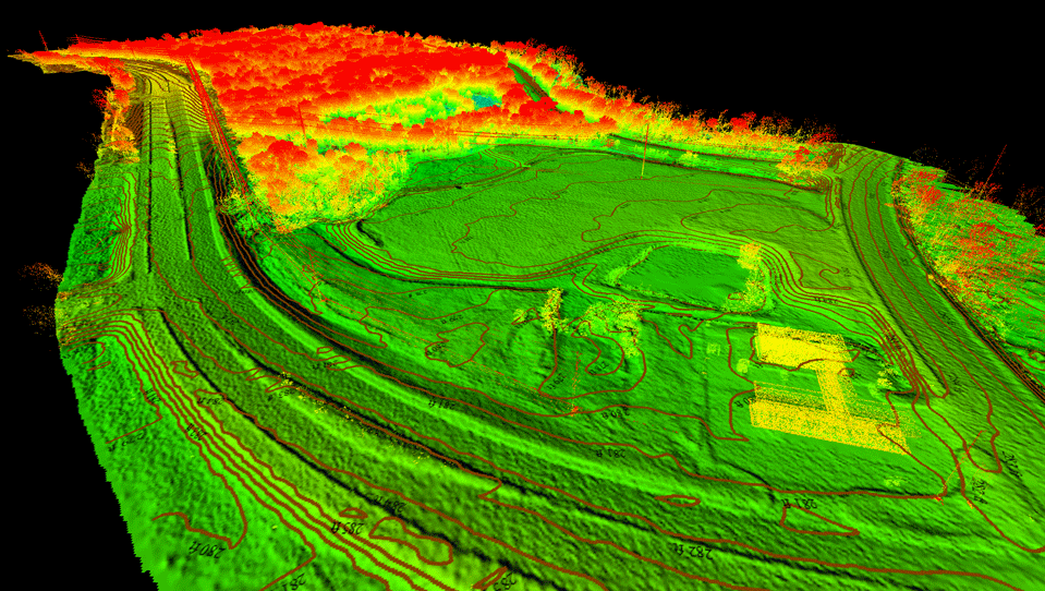
This heavily-treed property is perfect for drone LiDAR. UAS Global Services saved our client time and cost by not having to clear paths for traditional surveying.