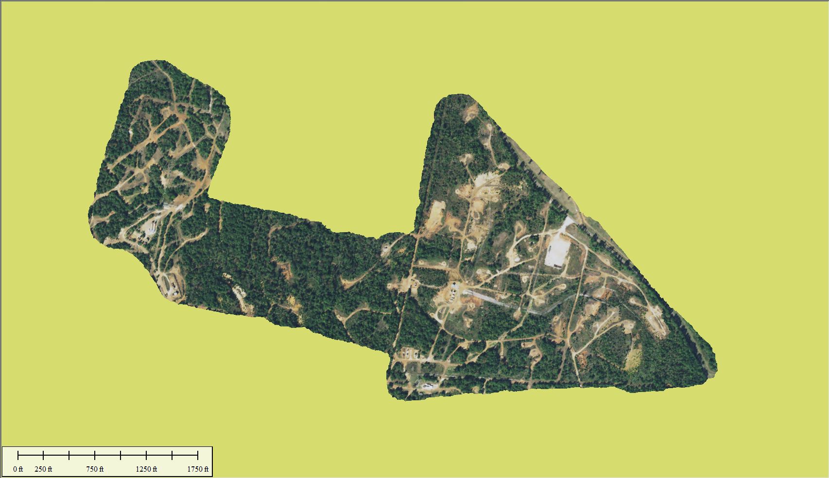
This large oil pad survey was completed to help a client find all oil pads and document their positions. The project area was quite large, had included varying elevation changes. This area was also heavily treed, which we were able to penetrate quite well.
Oil pad locations and dimensions were extracted from the LiDAR and turned in to detailed planimetrics for further study. Weeks were saved on this project and a lot of valuable data was collected in the process.
This oil pad survey is just one of many ways that we can help the oil and gas industry inventory assets and determine area viability. At 800 acres a day or 20 linear miles, we have what it takes to keep you ahead of the competition.
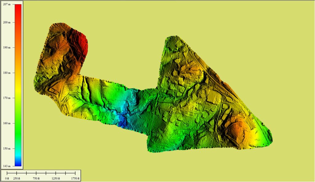
DTM 
HD Topo Basic Topo Colorized