A letter from our CEO
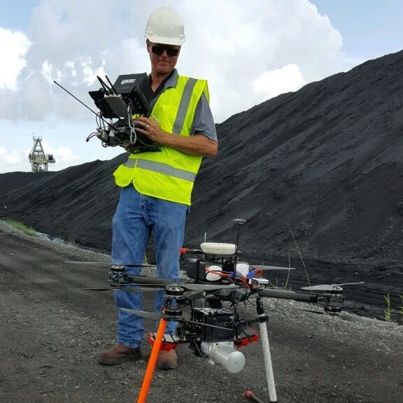
As a brief introduction, my name is Curtis Youngblood. I have been involved in UAV LiDAR data collection for the past 5 years, first through “Texas Drone Professionals”, then “McCord Engineering” and now “UAS Global Services Inc.” Many of our clients are Survey and Engineering firms. In addition to LiDAR data collection I have over 39 years in the UAV industry.
I wanted to give my perspective on UAV LiDAR in the industries we serve, as well as explain my thoughts on using a service provider vs. an in-house program for data collection.
First, UAV LiDAR is often presented in opposition to some other form of data collection. But in my experience UAV LiDAR is often not “replacing” other methods. It instead enables data collection where it was simply not done in the past.
For example, surveyors might need an up to date ground survey in a heavily treed area. The choice without UAV LiDAR was to clear cut trees just to get a small amount of data, or possibly estimate the ground based on old information. But UAV LiDAR can collect accurate up to date data on every square foot of ground even under heavily treed areas without touching a tree. The surveyor is now able to get quality data where they could not before. This gives the survey firm new avenues for income and new clients to pursue.
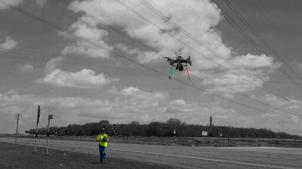
As another example – a private/municipal/Coop Utility might need data on 5 miles of powerlines. Possibly for an “as-built” or for inspection and vegetation analysis. The engineering firm often tasked to do the work knows full size aircraft LiDAR is simply not viable on that small scale. So in the past they might have to choose between sending someone out on foot to get very basic information, waiting until a large part of the system can be flown using full size aircraft or possibly just choosing not to collect the data. But with UAV LIDAR, short distances are economical. A few miles up to thirty miles or more in a day is viable for a single UAV LiDAR crew. This enables engineering firms to collect the needed high-quality data even on smaller projects helping them expand their business offerings and improving their bottom line.
In addition to enabling data collection where it might not have occurred before, UAV Lidar also brings exceptionally dense, high-quality data. The Lidar itself can be 500 points per sq meter. The accuracy when using good sensors and proper ground control is +-2cm x,y and +-5cm Z. In addition to LiDAR, UAVs often carry other payloads including high quality cameras for structural/ROW inspection and mosaics. LiDAR UAVs fly low and slow, helping get the best results from all the sensors.
Because UAV LiDAR enables data collection where it was not viable before it can improve the bottom line for Survey firms, Engineering firms and many others. For those that realize this potential the question is often do they develop their own program or hire a service provider. Short answer for most- hire a service provider!
Yes, I am biased, but let me explain my reasoning and you can decide for yourself.
UAV LiDAR is just another tool with the potential to improve a companies’ bottom line. But the expense of an in-house UAV LiDAR programs is often more than most companies estimate. For a UAV LiDAR program the pilot and helper along with the drone/LiDAR/chargers/batteries are often relatively obvious from the start.
The extra items that might not be immediately obvious are; the RTK unit for control, processing computers, processing software, LiDAR software, spare equipment (batteries, sensors, drone parts) and training for the UAV operations and processing.
In addition to initial costs you have the “ramp-up time” for the program. Everyone is learning how to use the equipment, process the data and learn all the in-field and safety procedures. This time can vary significantly depending on each employee’s experience, but it is often longer than most companies estimate incurring costs that need to be recouped later.
After the initial costs, come the continuing costs for labor, maintenance, equipment Insurance and liability insurance.
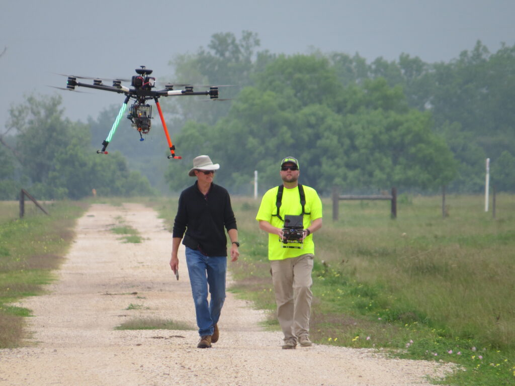
Labor costs tend to be higher than companies estimate because there is more work before, during and after data collection than most people realize Even the smallest lidar crews will need at minimum 2 and possibly up to 4 full time employees split between pilot, observer, ground control, safety, data processing and quality control. These roles can be shared to some degree but there is simply a certain amount of labor that needs to be done to go from start to finish on a UAV LiDAR data collection project. In very general terms most in-house programs need enough work to keep their dedicated teams in the field at least three days a week, 48 weeks a year to see a continuing benefit to their bottom line.
Most companies do not have enough UAV LiDAR projects available to keep their teams in the field that often. This is where the service provider comes in. On a project by project basis the UAV LiDAR service provider can be there when a company needs it, helping them get the job done, quickly and with the highest quality. This frees up companies to simply enjoy the benefits UAV LiDAR brings to their bottom line.
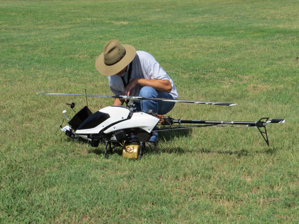
Curtis Youngblood LiDAR Helicopter 
Volumetric LiDAR Drone UAS Global Service Drone LiDAR